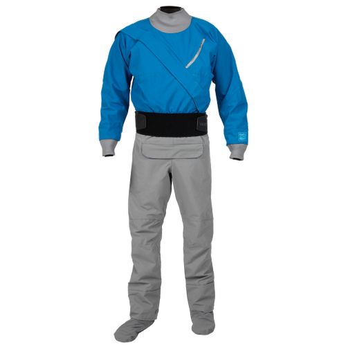
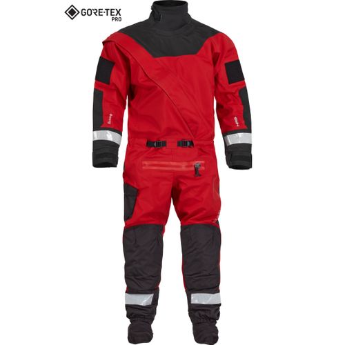
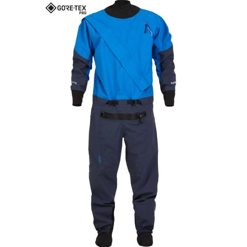
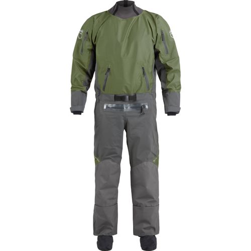
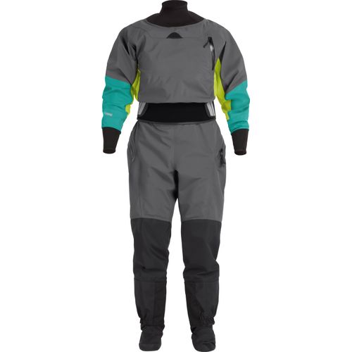
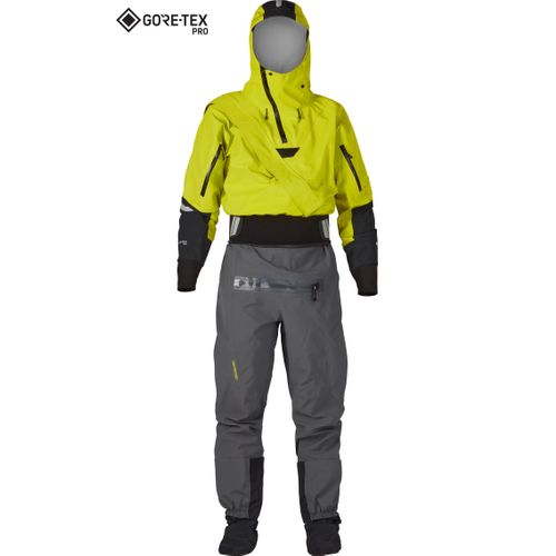
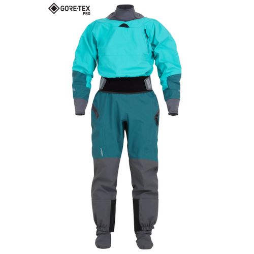
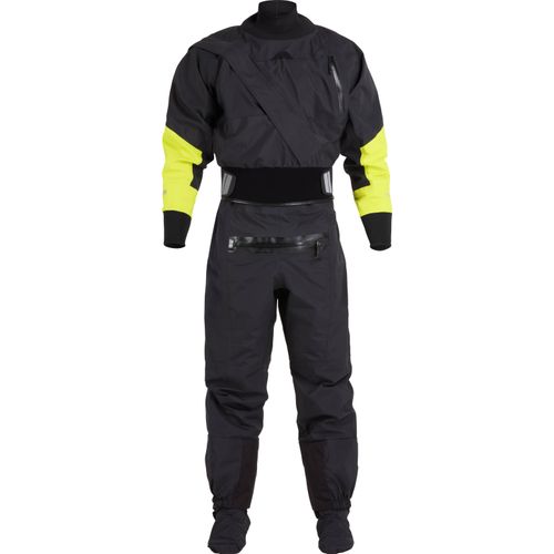
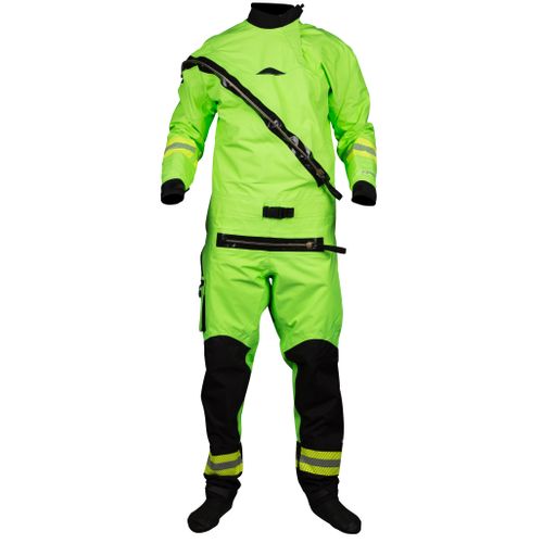
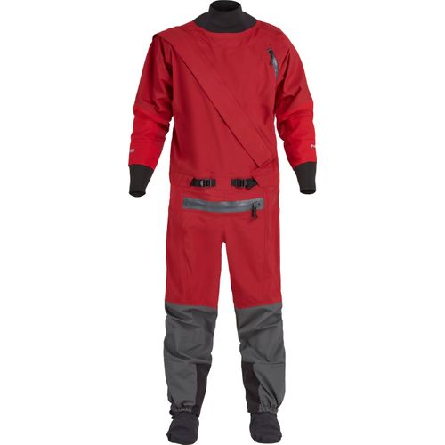
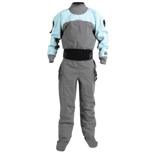
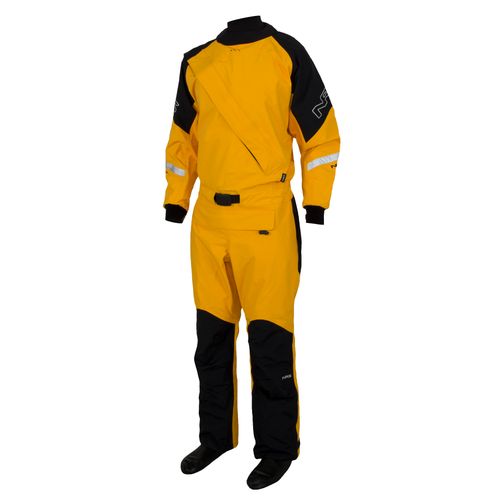
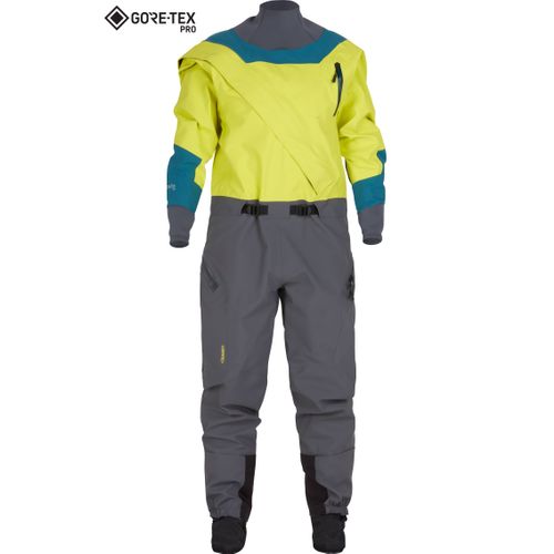
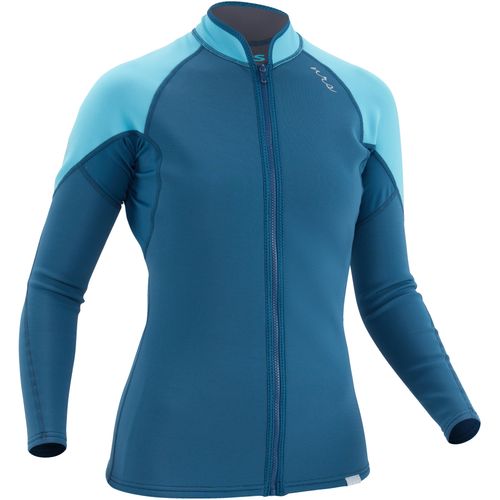
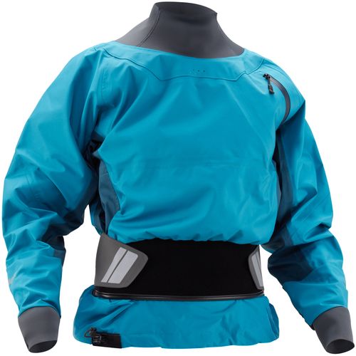
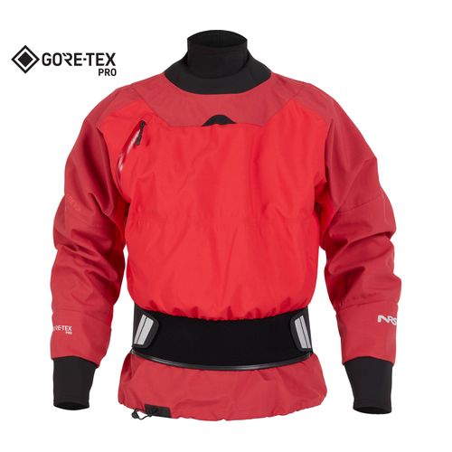
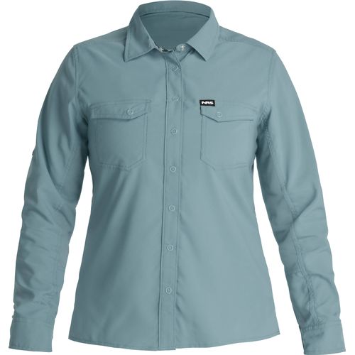
DRY SUITS: Invest in safety, invest in play.
Dry Suits
Spring has sprung, and we’re loving the extra sunshine, but it’s still dry suit season. With leading materials and designs, our dry suits deliver reliable protection for high-water runs and post-work play.

Used Gear. New Adventures.
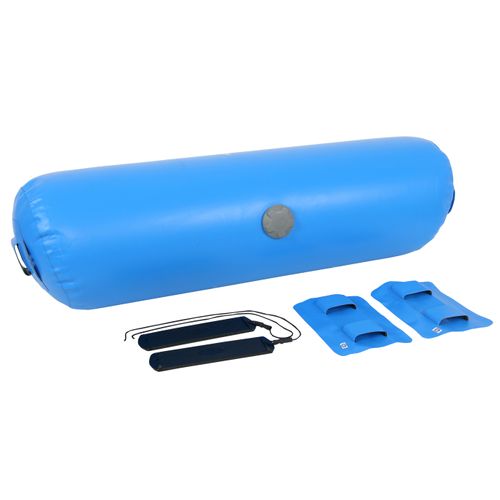
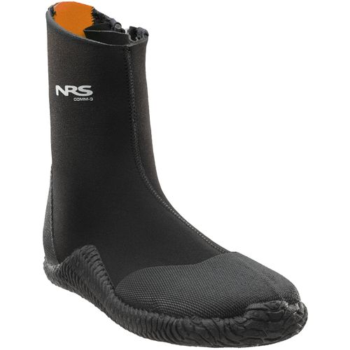
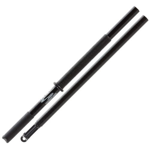
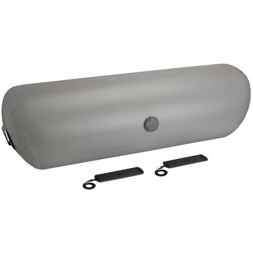
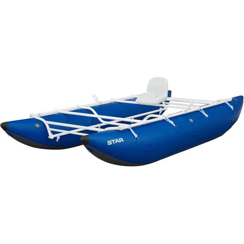
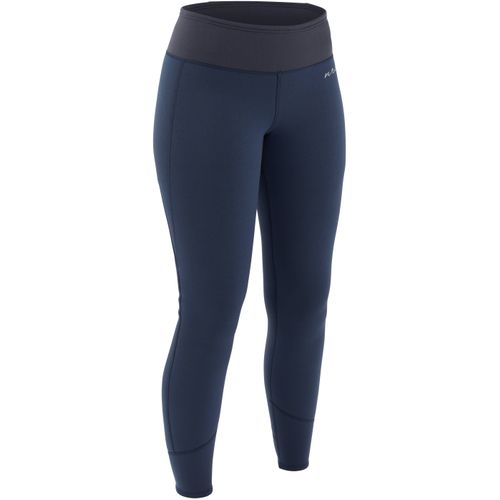
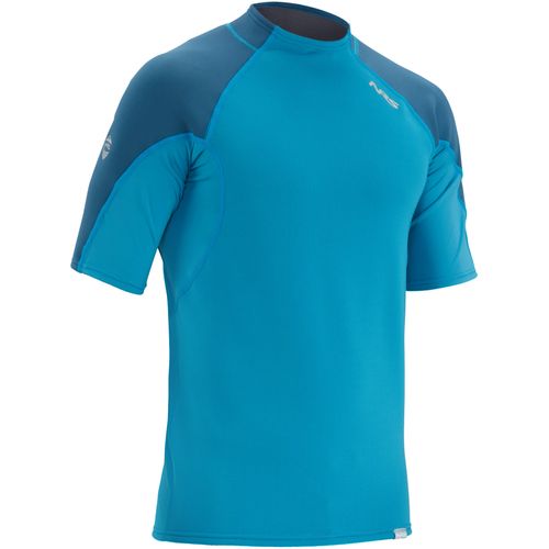
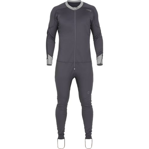
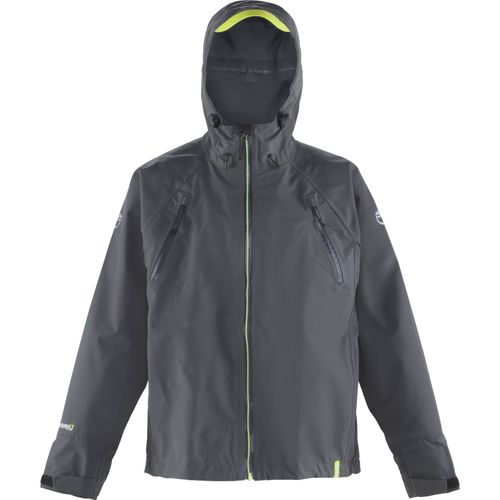
Buying used equipment and apparel from NRS is a great way to outfit yourself on a budget. Grab these used deals before they’re gone, and start planning your next adventure.
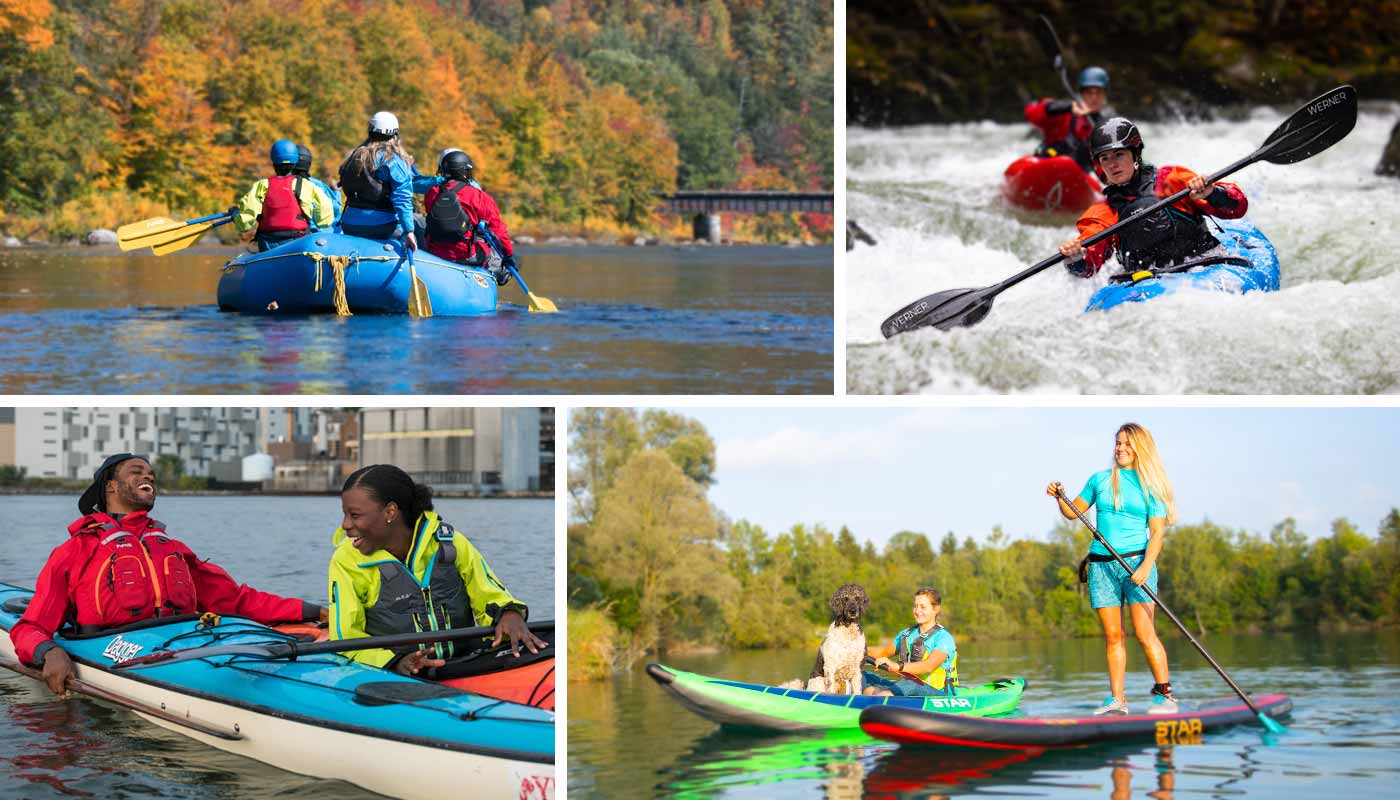
media stream

Zero or One: An Overthinker’s Guide to Rafting and Life » With guidance from Sensei Tanner, Jasmine Wilhelm found unexpected freedom in looking at her lines—and life—through a pass/fail lens.

Risk, Rapids and Rainbow Sprinkles on the Delaware River » Canoeing 200 miles on the Delaware River solo—minus his dog, Sully—let Rick Van Noy contemplate the value of risk and river trips.

Checklist » From planning to packing, logistics to stoke, Checklist reminds kayakers that planning a kayaking trip is easier than you think.

College Basics: Reading, Writing and Rafting » Stunned that River Guide Leadership 101 was a class option, Carlie Johnson registered for the free river trip but took away so much more.

Therapy for Restless Souls » From the rails to the rivers, David Jackson and his wife embark on a sub-arctic canoe expedition in search of healing and adventure.

Cinque Terre » Three paddlers hop a train to Genova hoping to sea kayak 100km of coastline and explore the five fishing villages that comprise Cinque Terre.

Bad Lines on the Buller River » When whitewater rookie Mia Clyatt moved to New Zealand’s Buller River to train as a raft guide, the rapids were the least of her problems.

A Grand Canyon Date Night » A last-minute Grand Canyon permit provided a much-needed opportunity for Nick Troutman and Emily Jackson to prioritize time together.

Life Downstream » Life Downstream offers a powerful look at the intersection of recreation and livelihood and the reminder that to truly know a rive r requires questions most paddlers never think to ask.
About NRS: Northwest River Supplies
In 1972, with only $2,000 in his personal savings, Bill Parks started Northwest River Supplies with one mission: to help others raft. 42 years later, Bill sold NRS to its employees. Today, the 100% employee-owned business strives to continue Bill’s legacy helping people pursue passions on the water.
At our Moscow, Idaho headquarters you’ll find passionate water-lovers just like you, from rafters to whitewater kayakers, sea kayakers to stand up paddlers, kayak anglers to fly fishermen. Our lives, and livelihoods, are drawn to water.
'%3e%3cg id='Final-Copy-2_2_' transform='translate(1275.000000, 200.000000)'%3e%3cpath class='st0' d='M7.4,12.8h6.8l3.1-11.6H7.4C4.2,1.2,1.6,3.8,1.6,7S4.2,12.8,7.4,12.8z'/%3e%3c/g%3e%3c/g%3e%3c/g%3e%3cg id='final---dec.11-2020'%3e%3cg id='_x30_208-our-toggle' transform='translate(-1275.000000, -200.000000)'%3e%3cg id='Final-Copy-2' transform='translate(1275.000000, 200.000000)'%3e%3cpath class='st1' d='M22.6,0H7.4c-3.9,0-7,3.1-7,7s3.1,7,7,7h15.2c3.9,0,7-3.1,7-7S26.4,0,22.6,0z M1.6,7c0-3.2,2.6-5.8,5.8-5.8 h9.9l-3.1,11.6H7.4C4.2,12.8,1.6,10.2,1.6,7z'/%3e%3cpath id='x' class='st2' d='M24.6,4c0.2,0.2,0.2,0.6,0,0.8l0,0L22.5,7l2.2,2.2c0.2,0.2,0.2,0.6,0,0.8c-0.2,0.2-0.6,0.2-0.8,0 l0,0l-2.2-2.2L19.5,10c-0.2,0.2-0.6,0.2-0.8,0c-0.2-0.2-0.2-0.6,0-0.8l0,0L20.8,7l-2.2-2.2c-0.2-0.2-0.2-0.6,0-0.8 c0.2-0.2,0.6-0.2,0.8,0l0,0l2.2,2.2L23.8,4C24,3.8,24.4,3.8,24.6,4z'/%3e%3cpath id='y' class='st3' d='M12.7,4.1c0.2,0.2,0.3,0.6,0.1,0.8l0,0L8.6,9.8C8.5,9.9,8.4,10,8.3,10c-0.2,0.1-0.5,0.1-0.7-0.1l0,0 L5.4,7.7c-0.2-0.2-0.2-0.6,0-0.8c0.2-0.2,0.6-0.2,0.8,0l0,0L8,8.6l3.8-4.5C12,3.9,12.4,3.9,12.7,4.1z'/%3e%3c/g%3e%3c/g%3e%3c/g%3e%3c/g%3e%3c/svg%3e) Your Privacy Choices
Your Privacy Choices NRS Gift Card: Always Fits, Always Wanted


